


|
|
|
"Utah's National Parks" by Ron Adkinson and published by Wilderness Press
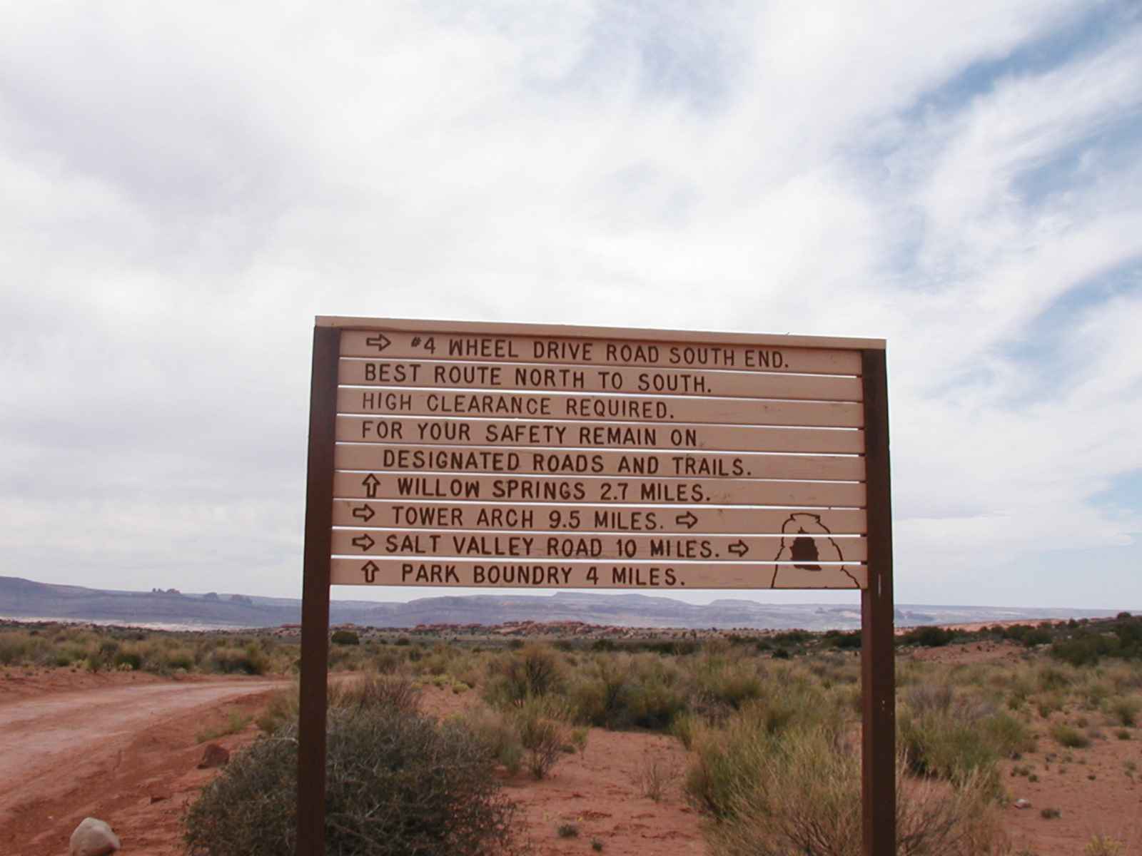
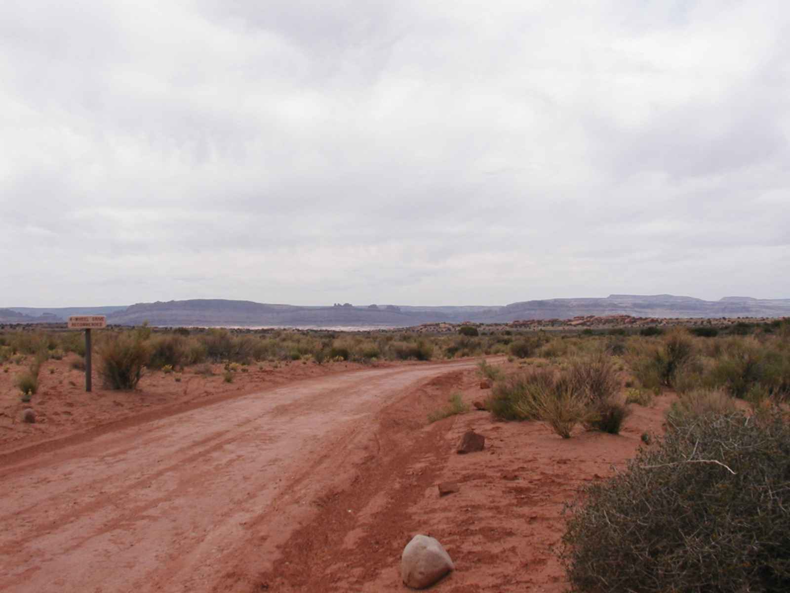
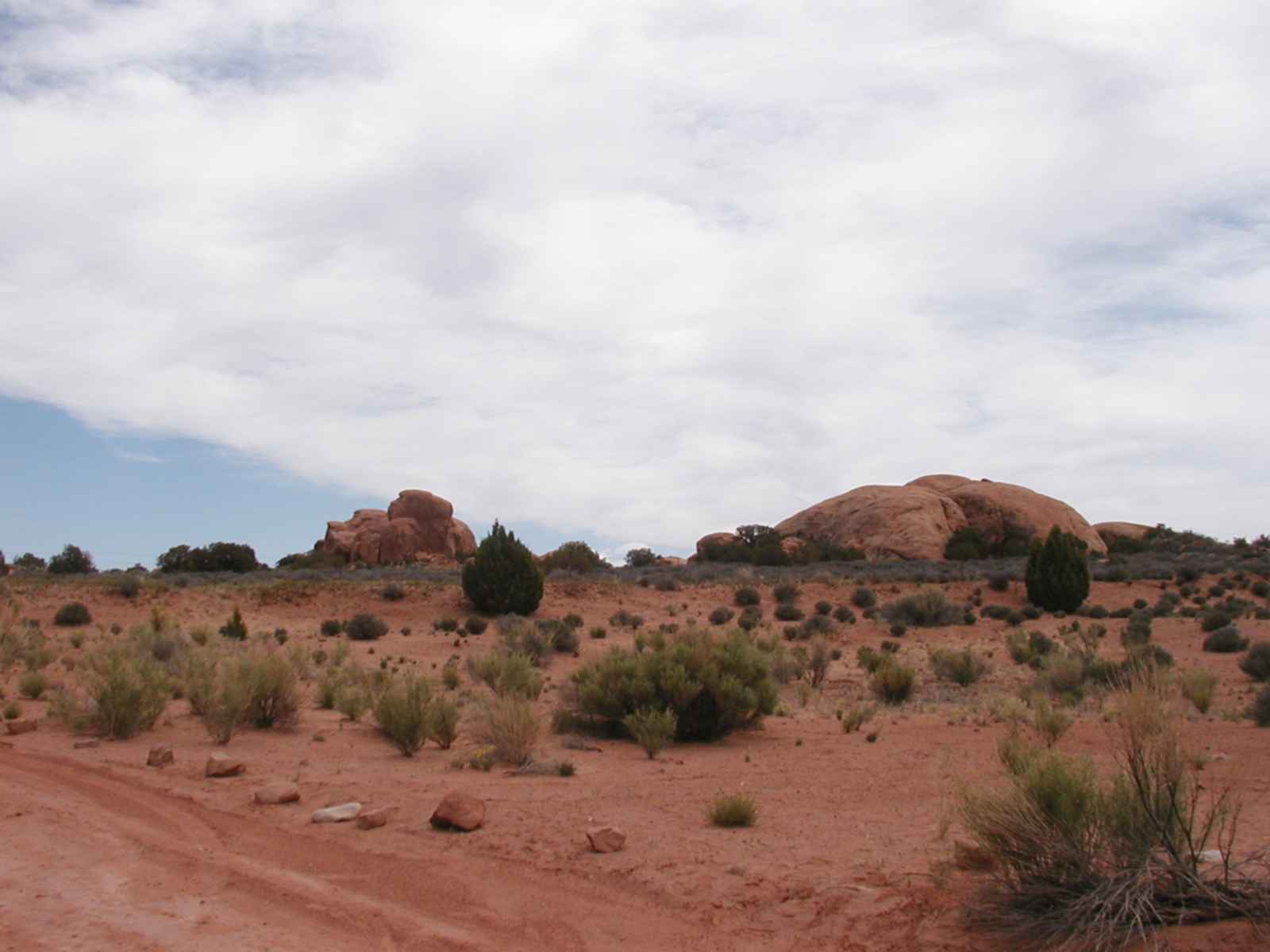
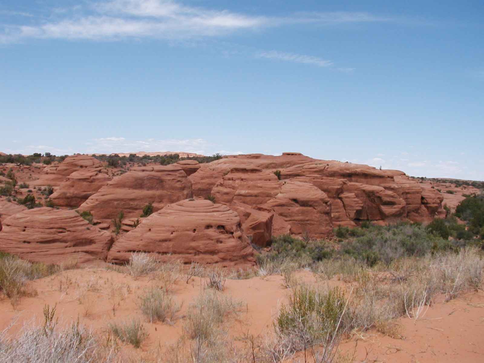
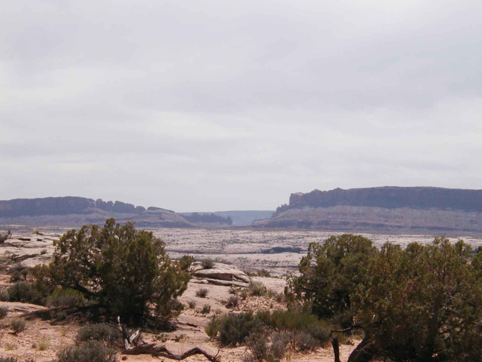
Trip 5 - Willows Flat Road Distance: 8.0 miles, round trip, to park boundary Elevation Change: 4610/5050 feet Suited For: 4WD trip, mountain bike trip, Dayhike Difficulty: Easy 4WD route; moderate mountain bike trip or hike Hazards: No water or shade; high clearance vehicle required Introduction: The Willow Flats Road is the original access route to what was formerly Arches National Monument. The road heads generally west across an open highland for 4 miles to the Park boundary, ultimately joining U.S. Highway 191...There are no arches along the route; far reaching vistas and a chance to leave the crowds are this trip's primary attractions. June 6, 2003 It started out as a perfect day with the sun hidden behind the clouds and a nice breeze and I made it to the park boundary in record time with no apparent effort. A mile or so after the park boundary I started to enter the courthouse wash and the biting flies began appearing. I learned my lesson and immediately turned around before they could take me to their lair and headed back to the trailhead. It is amazing how much the sun can sap your energy because they way back became very draining after the clouds disappeared and the sun beat me into submission. Here's the pics (Click on the picture to see full size): These are low res pictures. I can send you higher quality pictures if you want them
|