


|
|
|
1001 Hikes in North America CD-Rom
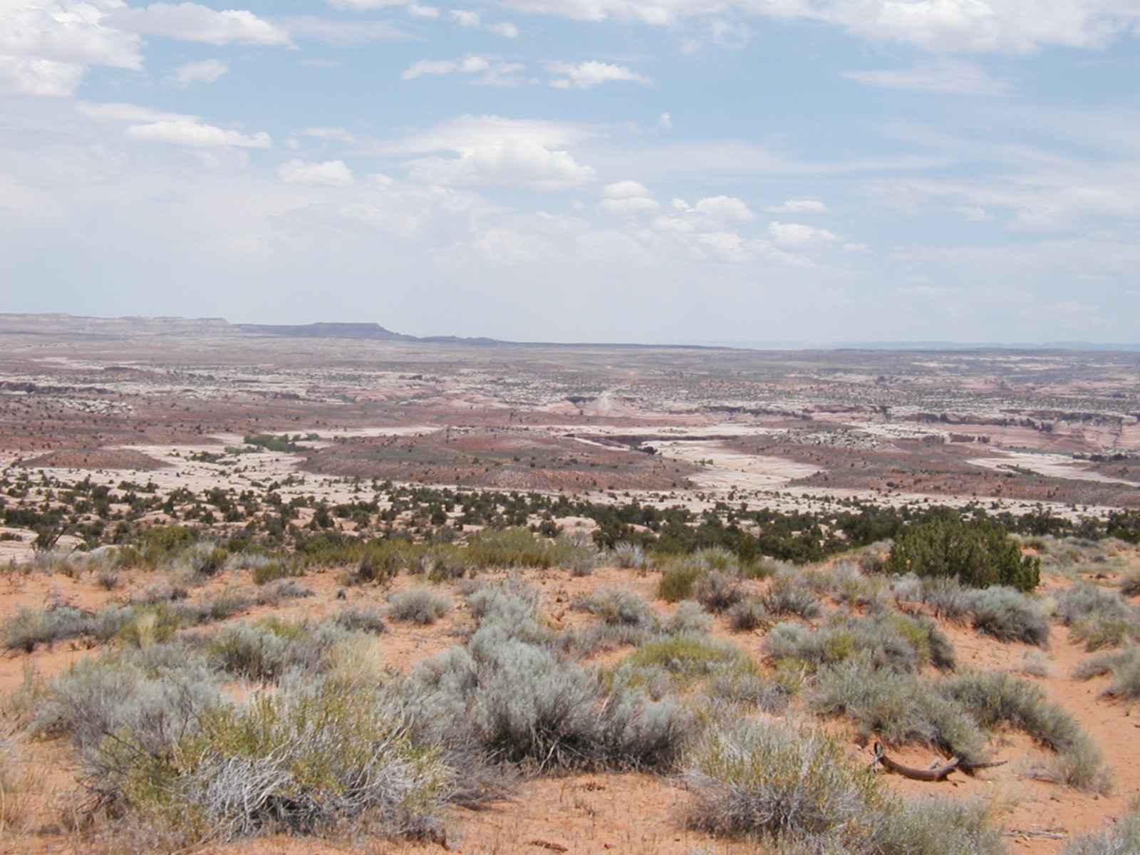
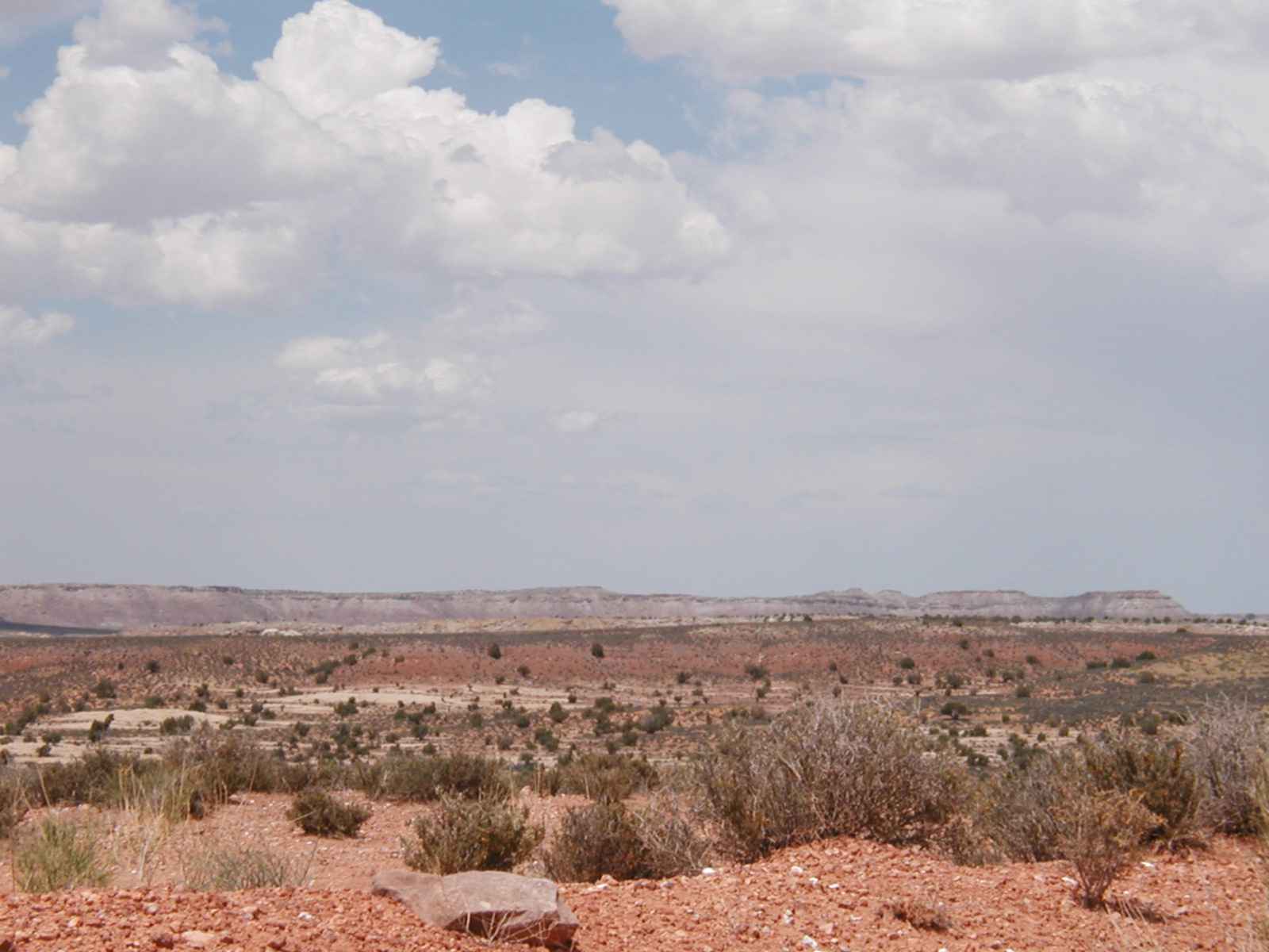
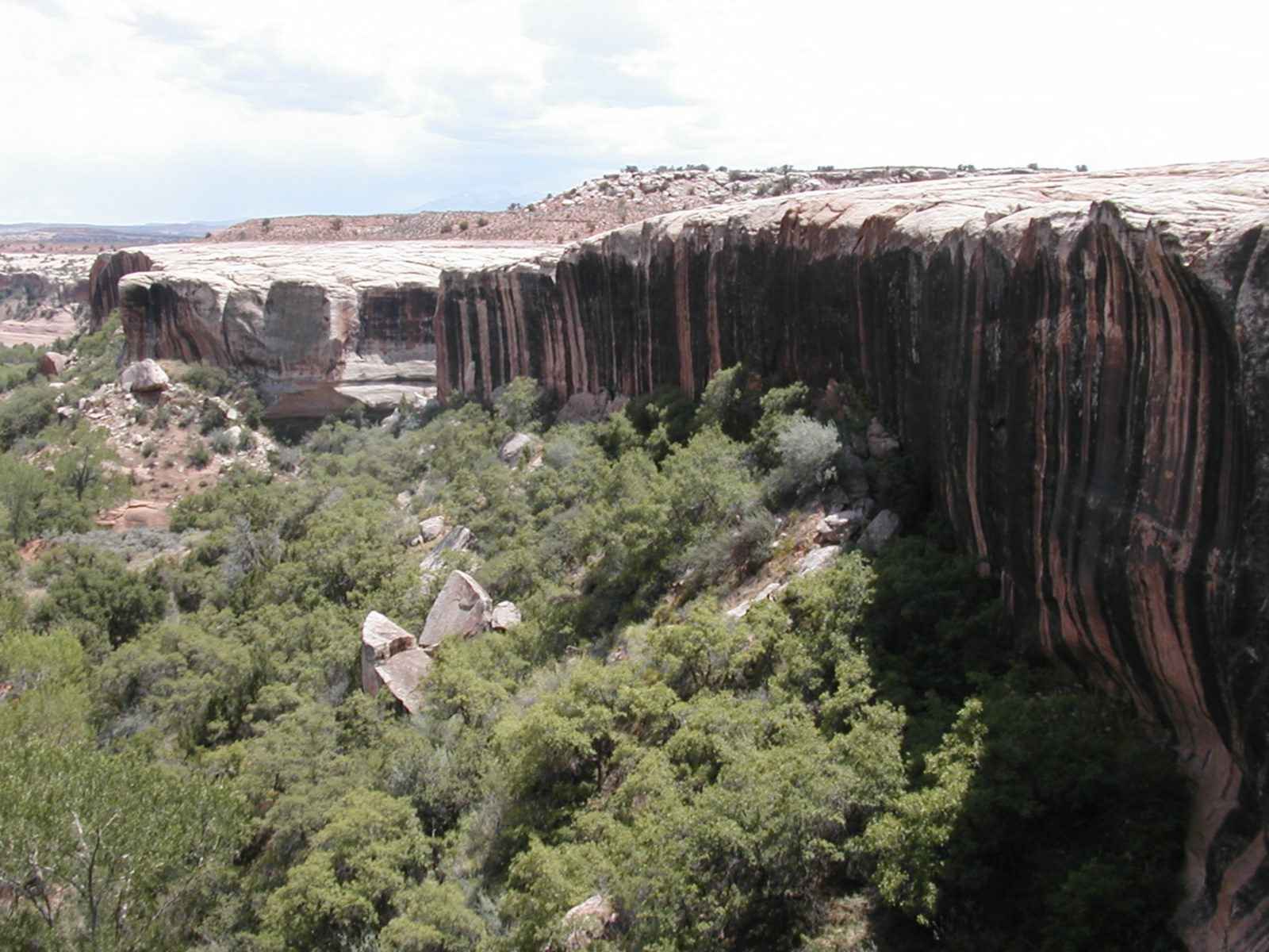
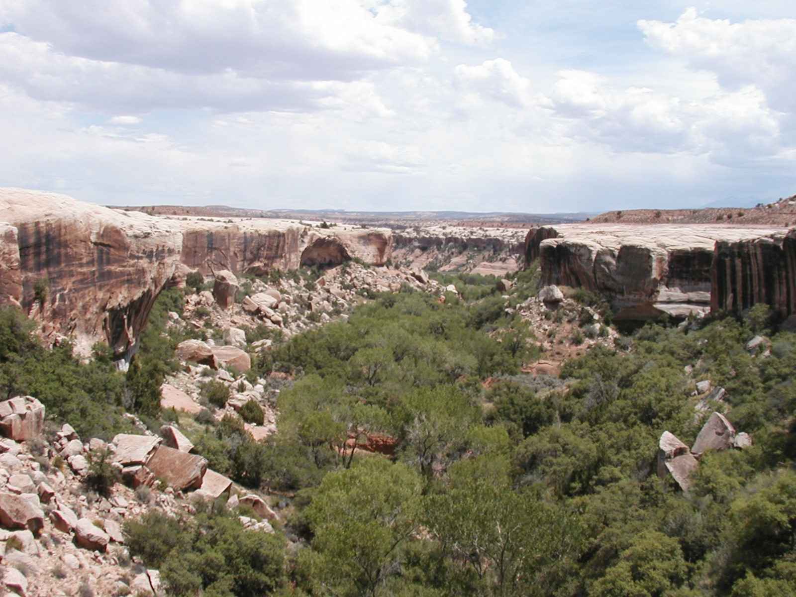
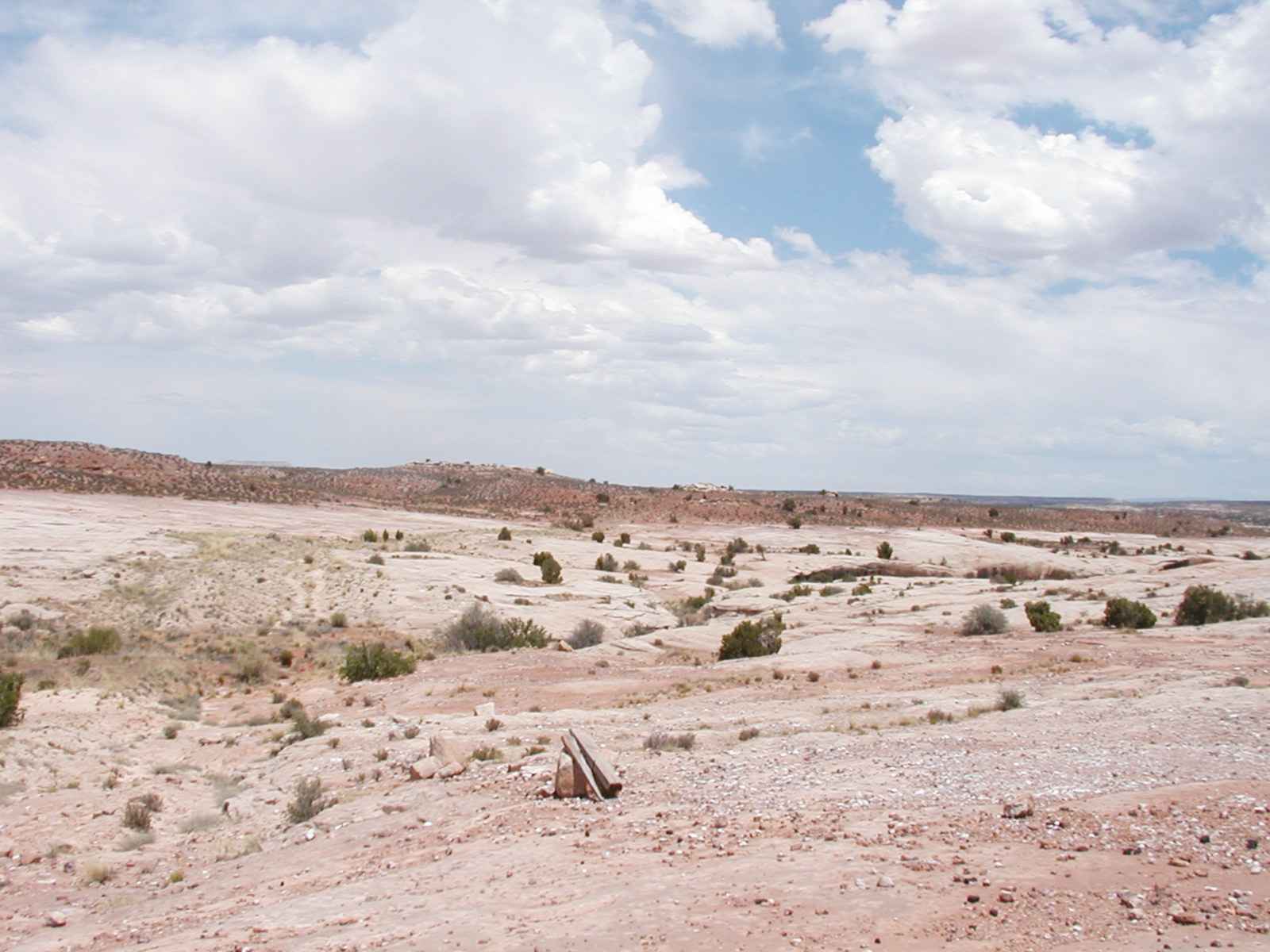
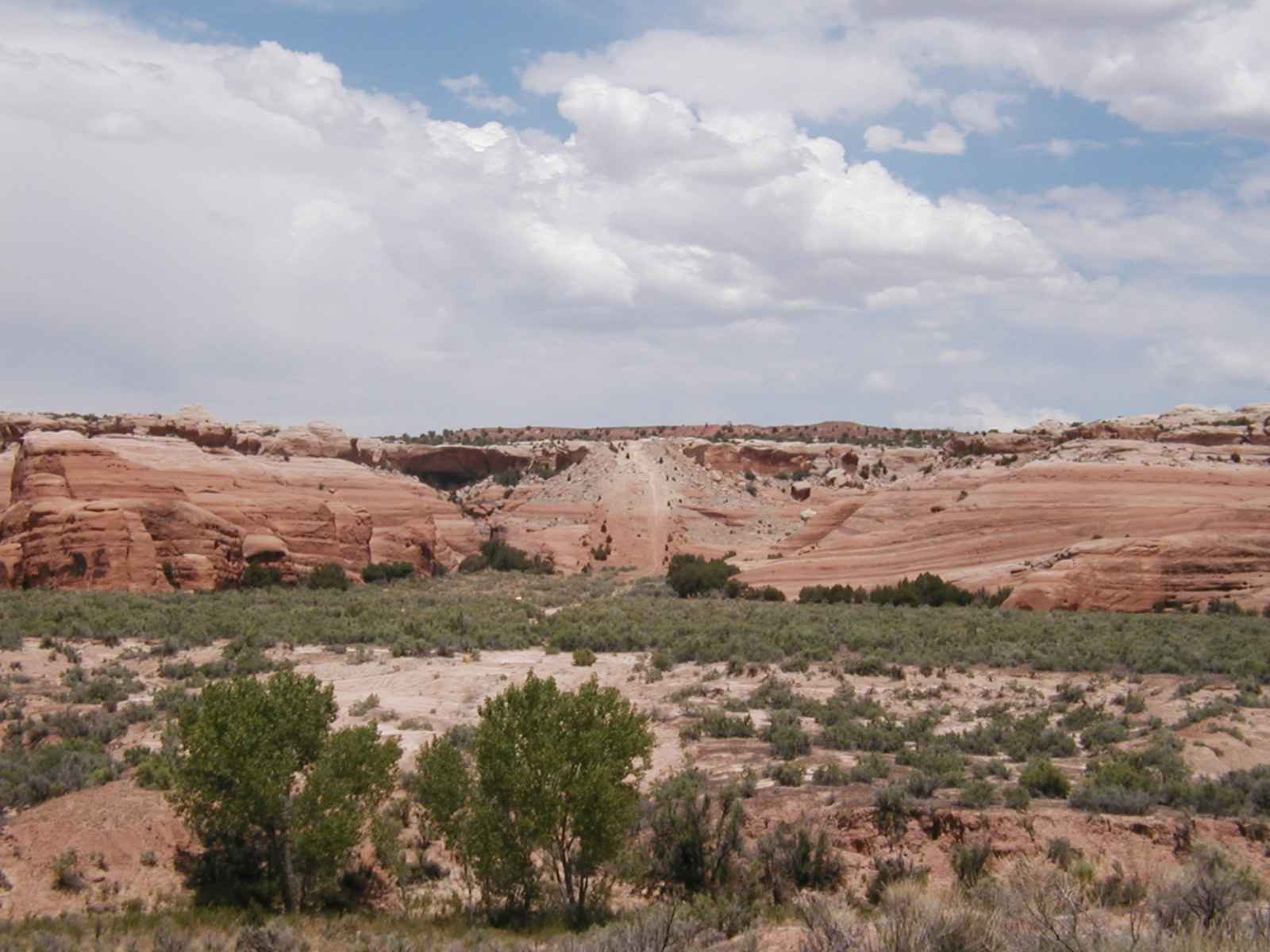
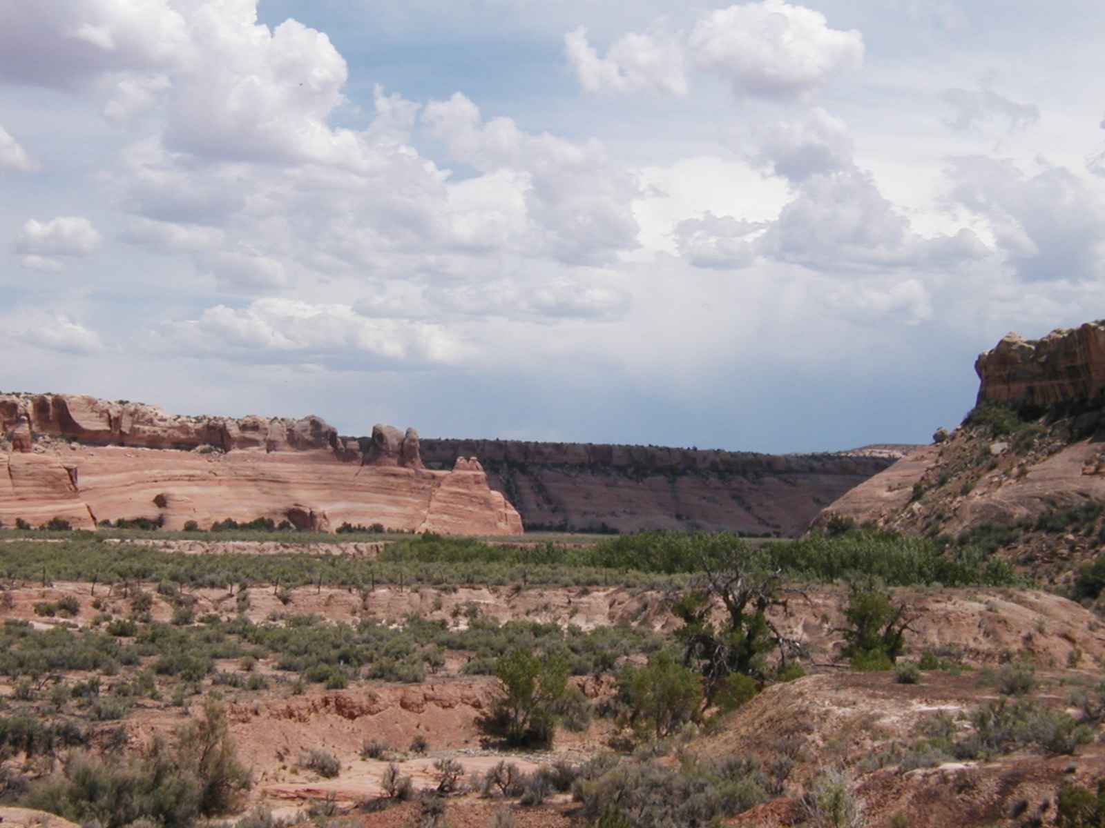
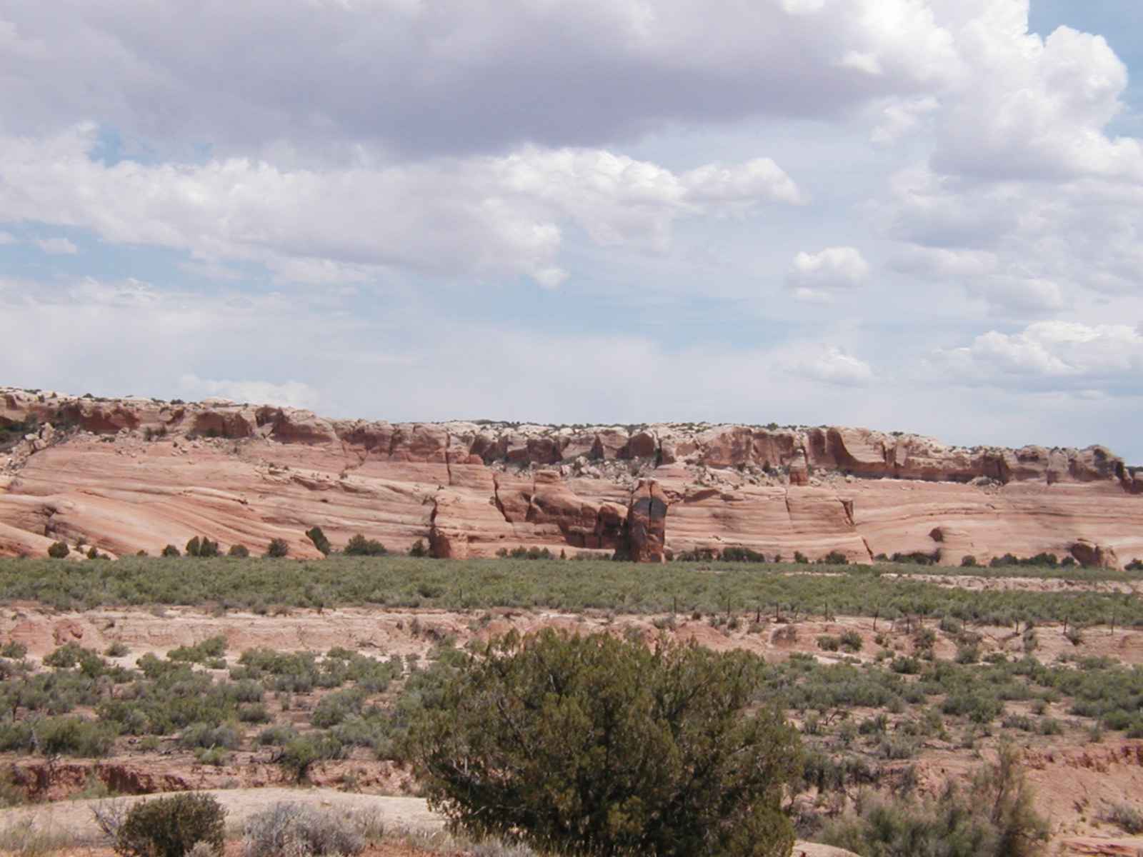
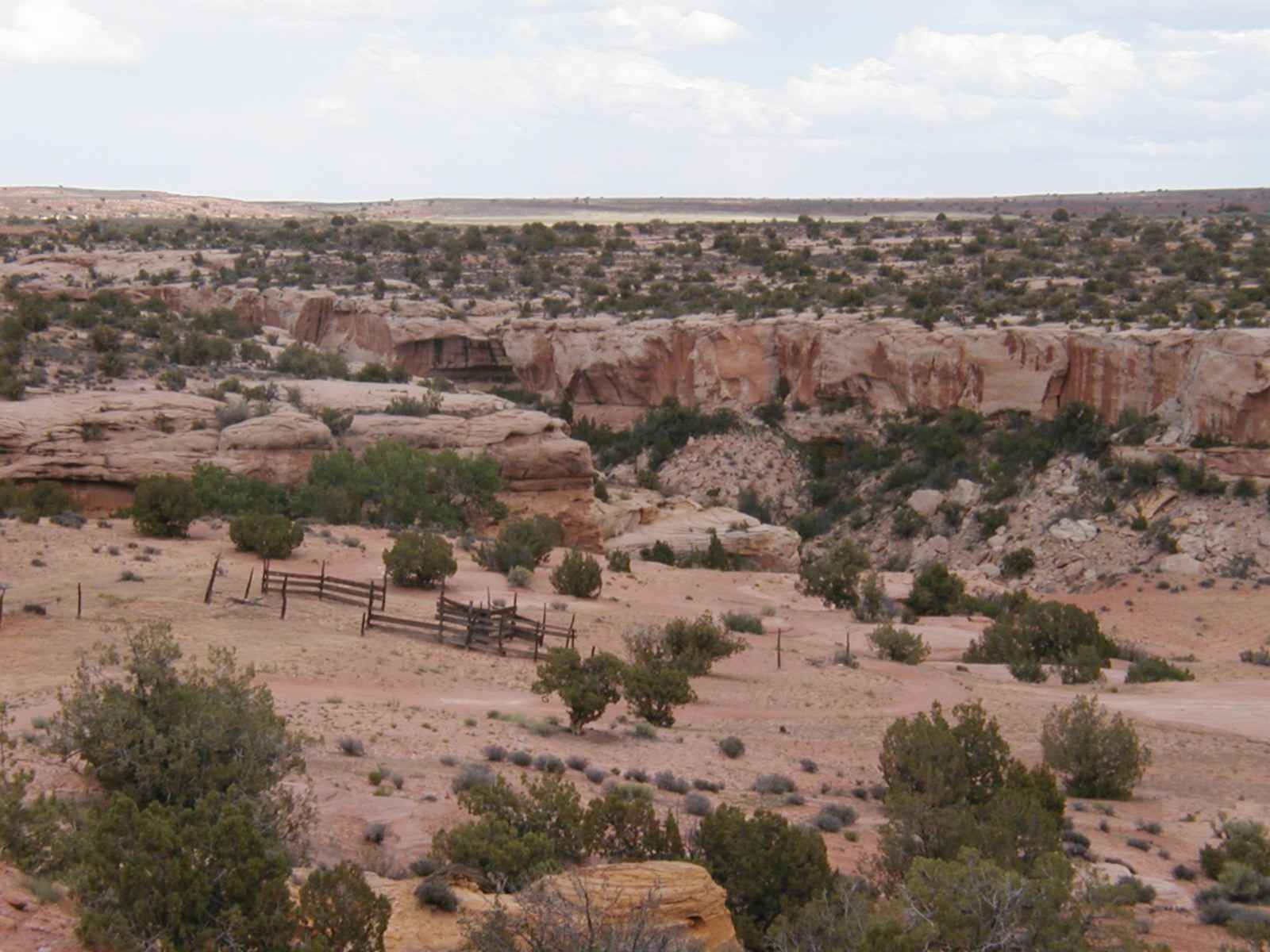
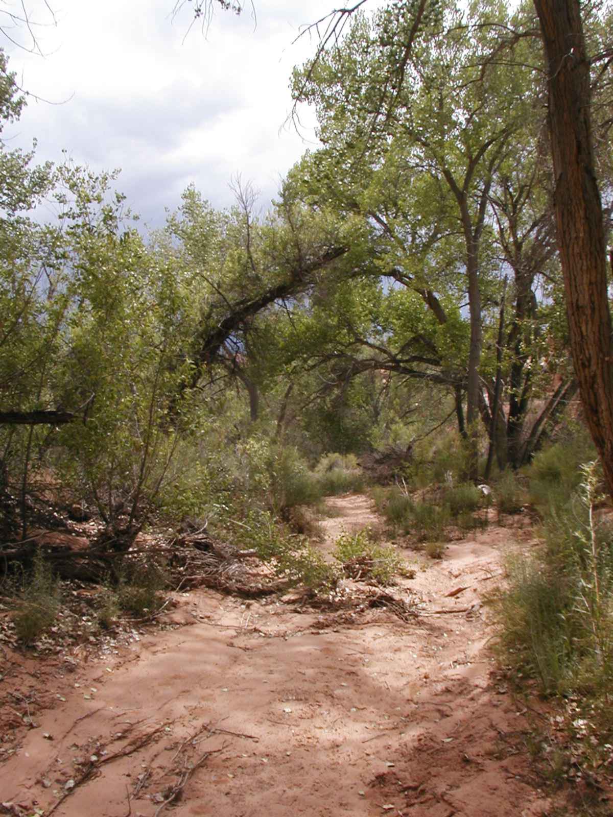
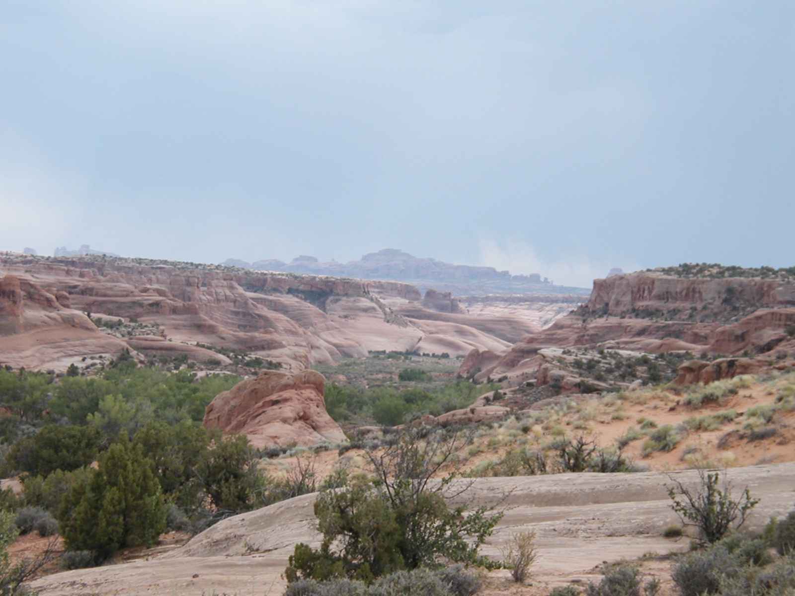
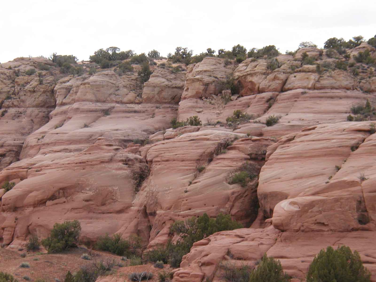
Lost Spring Canyon Distance: 12 mile loop Elevation Change: 900 feet Difficulty: Easy(????) ...Large flint and chert rock beds protrude from the sand throughout this area. Native American inhabitants made arrowheads, knives, and spear points from this glasslike rock. Note also the layers of colored sand as you descend. First you pass through a deep red sand layer, with sparse vegetation and less rock. The next layer consists of yellow-white sand with larger rock outcroppings. After about a mile, you near the head of Clover Canyon, a box canyon with steep walls. ...There is no clear trail from Lost Spring to the canyon bottom. Just pick out a path down the small shelves toward the cottonwood trees and the wash bottom. Just below the spring are a couple of very small waterfalls. In winter, these falls form beautiful icefalls. From here, multiple paths lead down to Lost Spring Canyon. In places, particularly at the head of the canyon, there seems to be a predominate trail, but throughout the canyon there are many cattle trails, which all seem traveled with equal frequency. Choose your path either along the wash bottom, or along the cow paths on the flat benches. When bench walking be sure to stay on established paths and avoid the black cryptobiotic crust, which dominates benches despite the heavy grazing. The next 3 to 4 miles down Lost Spring Canyon and up Salt Wash to rejoin the pipeline trail are the most scenic of the hike. The red sandstone walls deepen and form interesting caves and domes. Take your time here and enjoy the canyon. As you exit the canyon mouth where it joins Salt Wash, turn right (north) up canyon. Follow the canyon until you see the ramps to your left and right. Make a left and head up the ramp and retrace your steps back to your car.
June 12, 2003 After several days failing to find trailheads from the CD and the book, I finally settled on this "easy" hike as it was the last one left in Arches National Park. It started out as a lovely day for hiking with a nice breeze to counter-act the burning sun. After an hour or so, I noticed that I was smack dab in the eye of the storm clouds that surrounded me in every direction. I decided to press on and the storm didn't hit until I descended into the Canyon which was the most scenic trail of the entire park. The slickrock seemed to change color from red/brown to silver/grey to produce a very eerie effect. Unfortunately I couldn't take any pictures due to the rain and, I suspect, hail. The nice dirt trails turned to sludge in a matter of minutes and added a couple of pounds of mud to each boot with every step. There was also no trail in the valley and I kept trying to maintain the high ground to make sure I didn't miss my turn. High ground used to entail fairly easy climbs of 8-10 foot dirt cliffs that were now slick mud slides and I was covered from head to toe in mud. Good Times!! Here's the pics (Click on the picture to see full size): These are low res pictures. I can send you higher quality pictures if you want them
|